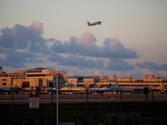
New York: Marathon commercial flights that test the limits of long-range jets are getting help from an unlikely source to avoid falling short of their destinations: machine-learning algorithms.
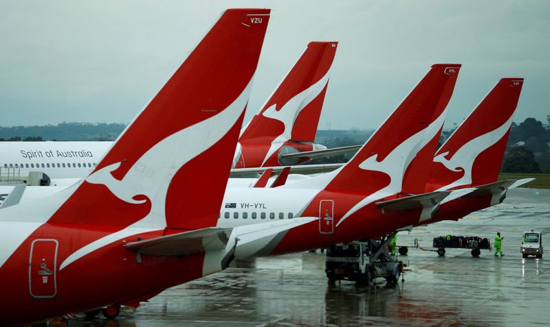
At times, Air New Zealand has struggled to get all the way to Auckland from New York in a single hop using its Boeing 787s. Qantas Airways, meanwhile, is adding extra fuel tanks to its Airbus A350s before attempting non-stop trips from Sydney to New York and London from late 2025. The 20-hour flights are set to be the world’s longest regular passenger services.
Both airlines are relying on data-hungry software to plot fuel-efficient flight paths and avoid unplanned and embarrassing stops to refuel. The route-planning programs can help pilots avoid heavy weather and catch a tailwind, or even tell them to fly slower to burn less kerosene - anything to squeeze extra miles from the tanks. And rather like an internet search engine that learns on the go, the mapping software is designed to get better the more it’s used.
Read more
Artificial intelligence is rippling through aviation’s decades-old manual systems, impacting everything from ticket sales to cockpit procedures. While route planning is hardly new, AI offers carriers new ways to save money and fuel as ultra-long voyages proliferate and the mammoth task of reaching net zero emissions by 2050 looms.
Flightkeys calculates about 300,000 flight plans each day for customers including Southwest Airlines, American Airlines Group and Air New Zealand. Following is an edited interview with Raimund Zopp, co-founder and head of innovation at Vienna-based Flightkeys. Zopp, 67, is a former Austrian Airlines pilot.
What’s wrong with the current system?
Flight planning is something very few people completely understand. Everybody might think you go to the aircraft, punch in your destination and the computer calculates a route, like in a car. That’s not the case. It’s so complicated to find an optimum route when the systems in the aircraft are not capable of doing this. You need a system on the ground collecting a lot of data and then trying to find the minimum-cost solution. There are so many constraints and parameters that need to be considered and you have to apply machine learning to correctly apply these constraints.
How do you pick the optimum route?
You have lots of degrees of freedom but lots of restrictions from air-traffic management, the military, weather and over-flight charges that are different for different countries. Finding a minimum-cost trajectory is really challenging.
One of the key parameters is the characteristics of the aircraft. The lighter the aircraft, the higher it can climb. A lighter aircraft tends to fly a little bit slower because the optimal speed gets slower with reduced weight. Then of course, there’s wind and temperature at altitude. You want to avoid areas of headwind and gain where you can have a tailwind. That’s why you divert from the shortest route to gain advantages from the winds.
How do super-long flights change the picture?
The longer the route, the more important a flight-planning system becomes because you’re at the limit of the aircraft, typically. So it’s always a balance between how much load we can put on the aircraft and still make it, and how much we have to offload. You want to reduce the fuel reserves on one hand, but you want to have enough to have a high chance to make it non-stop. So that’s another reason why you need a system that calculates efficiently and fast because you have to change the result very often.
How do you factor in the cost of time?
Depending on the maintenance contract of the aircraft, every hour of flight costs a certain amount. If you fly faster, you can reduce maintenance costs to a certain degree. Crew may be paid by the hour, so that’s also a time-relevant cost. And then you have delays when the flight is delayed and needs to regain schedule. Time cost can be the most prominent cost factor.
How do you address the potential climate-warming impact of contrails?
(Contrails, short for condensation trails, form behind jets when hot exhaust vapor meets cold and humid air, typically at cruising altitudes.)
I was skeptical until about two years ago. I started to investigate and realized it’s a real issue. We are close to our first implementation of contrail-avoidance functions directly integrated in our system. We already worked with prototypes to reroute trajectories around these critical areas. The good message is that not many flights need to be rerouted, and the rerouting is very small. The cost-impact of these mitigation strategies is actually extremely low.
What will be impact of sustainable aviation fuel?
The biggest impact of SAF on the planning process is that it’s much more expensive. The planning changes because we fly a little bit slower to save fuel. When the fuel is cheap, the flight tends to be a little bit faster because it doesn’t matter. With SAF, you can expect that flights will get slower because you want to be very careful with this expensive resource.
Your route planner claims to be five-dimensional. What do you mean by that?
We have three dimensions of space - latitude, longitude and altitude - and one dimension of time. But you also have a fifth dimension, which is the probabilistic dimension. The most imprecise data during the planning phase is the actual time of departure - it’s not known if you’ll really depart on schedule. It makes a big difference during the planning phase. You have a lot of chances to finetune the flight when you’re in the air because all factors are known much more precisely at that point.


