Highlights
- State weather bureau Pagasa currently tracking “low-pressure area” (LPA) forming east of the country.
- LPA has 30-40% chance to develop into tropical depression, agency stated.
- It could hit archipelago during Christmas weekend.
MANILA: Another potential typhoon is threatening the Philippines, even as the country still reels from the death and destruction brought by super-typhoon Rai. The new weather disturbance could hit the archipelago over the Christmas weekend, weathermen said.
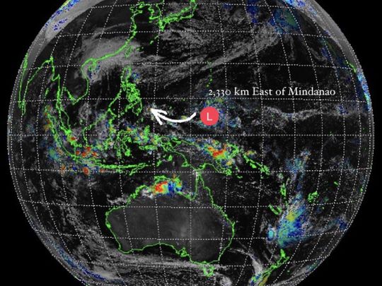
Pagasa, the state weather bureau, is currently tracking a “low-pressure area” (LPA) forming east of the country off the south-west Pacific, though it’s still quite a distance from the island nation.
Pagasa clarifies, advises precautionary measures
A note issued by the Pagasa weather bureau on December 20, 2021 states: "Based on all availble data today, Pagasa is monitoring a low-pressure area (LPA) over the Pacific that is expected to enter PAR (Philippine area of responsibility) on the 23rd or 24th of December. It will be closest to the landmass of Mindanao on the everning of 25ht or or the morning of 26th December."
"This LPA has a 30%-40% chance to develop into a tropical depression. In this regard, the public is advised to undertake precautionary measures, continue monitoring for updates and remain vigilant against unofficial information coming from unverified sources," the statement signed by the agency's administrator Vicente Malano said.
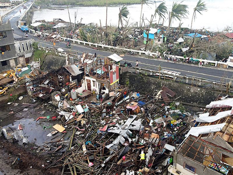
Hundreds of towns and cities in central Visayas and northern Mindanao sustained extensive damage caused by super typhoon Rai (Odette), knocking down communications and power lines from more than 200 cities and towns. Local communities have appealed for help.
Meteorologist Ariel Rojas posted a tweet giving the general location of the new LPA, using a satellite photo taken by Himawari-8, a Japanese weather satellite. If it develops into a typhoon, it will get a local name when it enters the Philippine area of responsibility.
On Monday (December 20, 2021), the new weather disturbance was seen forming at about 2,330 km east of Mindanao, the Philippine Atmospheric Geophysical and Astronomical Services Administration (Pagasa) reported.

December is typhoon month in the west Pacific and the Philippines sees up to 20 storms a year. Pagasa weather specialist Aldzar Aurelio said in Filipino on Monday: “Ito ay malayong-malayo pa sa ating banasa. Patuloy po natin itong babantayan.” (Translation: “It’s still quite far, but we continue to track it.”) Aurelio said Rai is already out of the Philippine area of responsibility.
At its strongest, Typhoon Rai packed sustained winds of 195km per hour — and gusts of up to 270kph — one of the most powerful in recent years to hit the disaster-prone archipelago.


